


Overview
Measurements and details of as-built environments are rapidly scanned and turned into deliverables of value using the latest hardware and intelligent data analysis. We own and operate various remote sensing equipment that serve different applications.
Laser scanning is a powerful resource for creating “digital twins” of existing buildings – mm-level details can be captured in scan data. We work with our clients to ensure that we deliver what they need. We are on the leading edge of measuring techniques and have robust infrastructure to handle all project needs.
Methodology
-

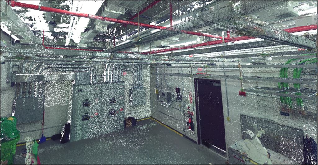
Scan
Using the laser scanning hardware that is right for your needs, Planit will scan and create a point cloud of the project area.
-

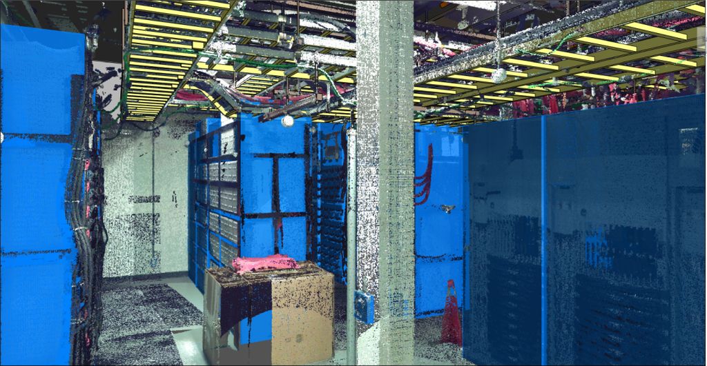
Extract
Planit specializes in the implementation of innovative and intelligent data analysis techniques to extract the features that are required for your deliverable. Planit can then extract additional details at any time without requiring any further field visits for data collection.
-

Deliver
Planit has a robust QA/QC process to ensure that our final delivery is accurate and meets the requirements set by our clients.
Services
- LiDAR laser scanning for interiors and exteriors of buildings and facilities
- Scan-to-CAD and Scan-to-BIM for architectural, structural, mechanical, electrical, plumbing, HVAC elements
- Spatial Analysis: smoothness, levelness, damage, change detection, clearance mapping
- Clash Detection: identification and comparison of as built areas and records that do not match
- Asset Inventory
- Renderings
- Walk-throughs and Fly-throughs
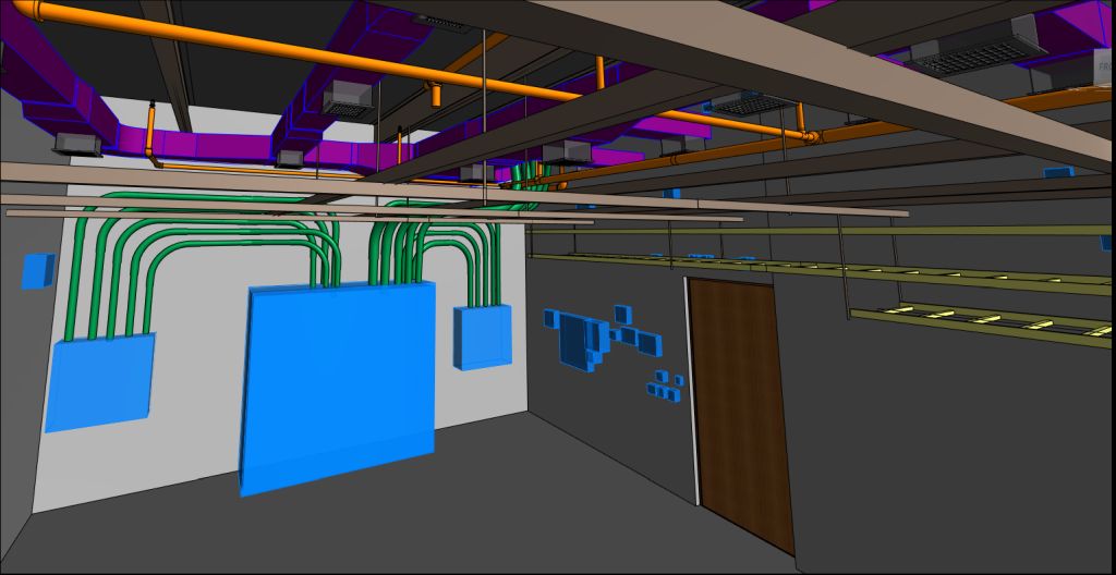
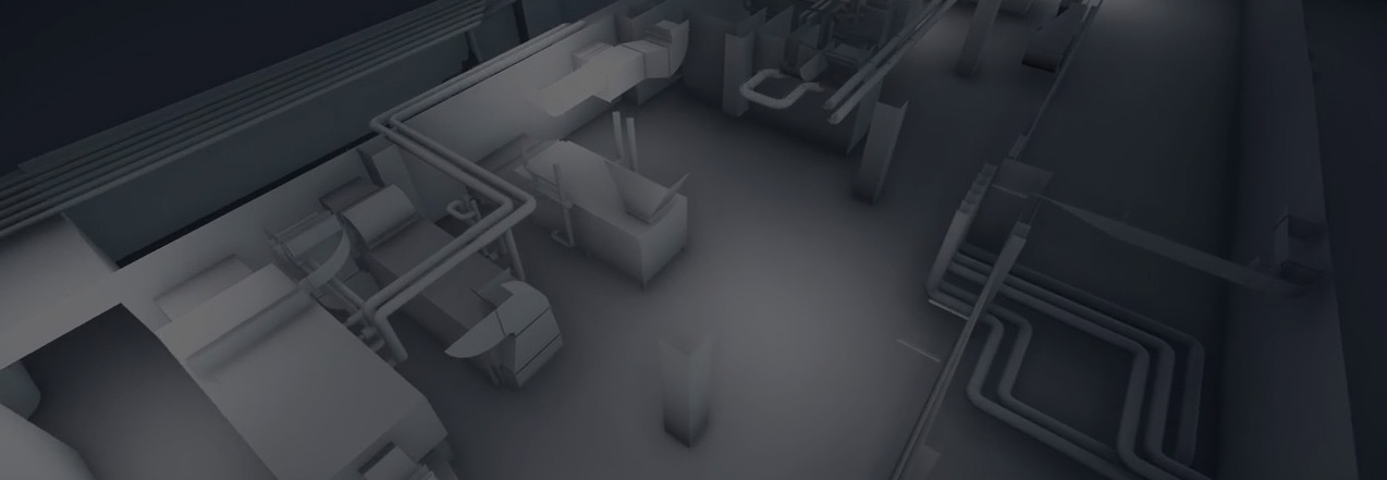
Scan-to-BIM Example